|

United States: March’s advent heralds not only the transition into vernal splendor but also the initiation of a meteorologically volatile epoch for the Deep South. As atmospheric dynamics undergo seasonal recalibration, the specter of tempestuous conditions draws ominously nearer.
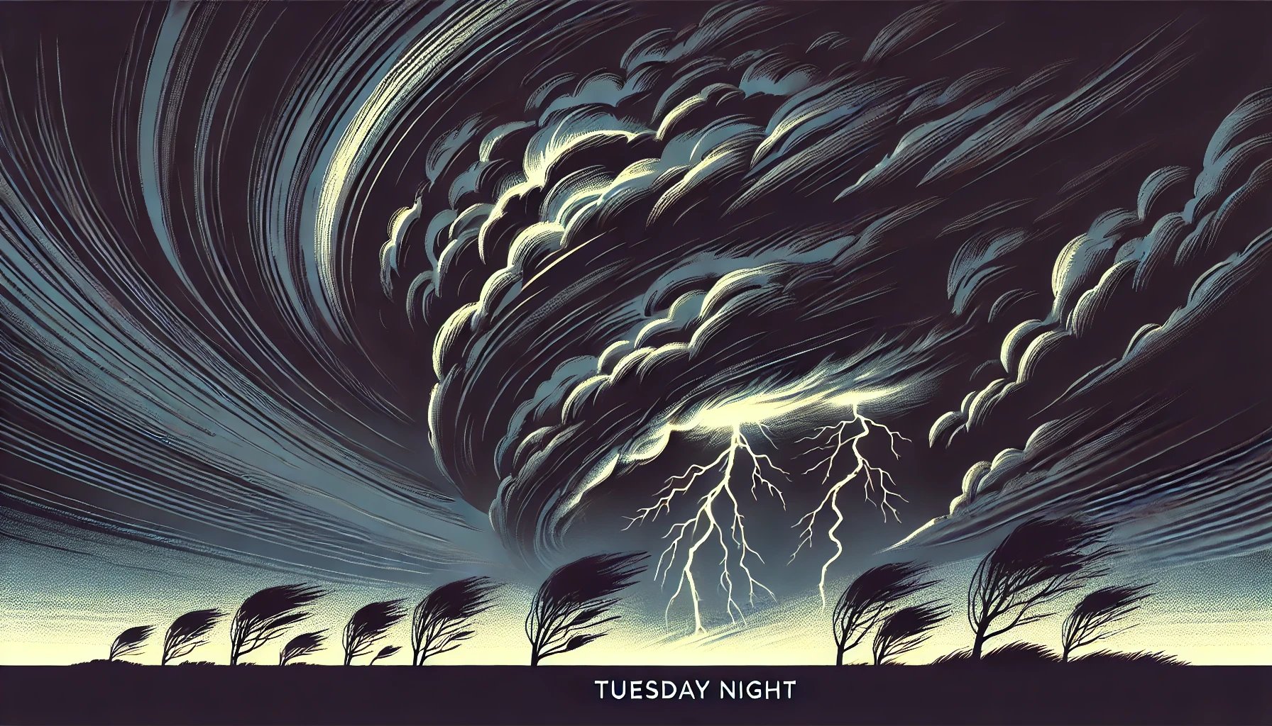
With unmitigated urgency, this turbulent interlude arrives ahead of schedule. Prognostic meteorological models delineate a plausible genesis of formidable storm systems, anticipated to unfurl from the twilight hours of Tuesday into the liminal pre-dawn interlude of Wednesday.
A formidable frontal mechanism is charted to carve a formidable trajectory across the Midwest, thereafter plunging into the southeastern quadrant of the United States within this temporal frame. This vigorous synoptic arrangement will orchestrate an expansive domain of atmospheric destabilization, fostering an elevated susceptibility to meteorological upheaval, per the analytical insights of weartv.com.
The entirety of the WEAR observational perimeter has been ascribed a Level 2 out of 5 classification in the risk hierarchy.
While the fulcrum of peril predominantly resides to the west, our immediate environs remain vulnerable to sporadic yet ferocious storm cells of consequential intensity.
Read More >>
You Might Also Like

|